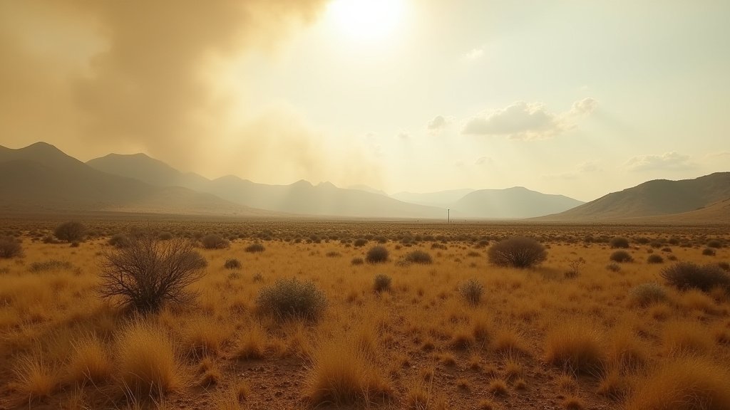
The National Weather Service (NWS) has escalated fire danger protocols across Central and Eastern Oregon, issuing a “Particularly Dangerous Situation” (PDS) Red Flag warning as the state enters August. This rarely utilized designation signals that weather conditions are expected to create extreme fire growth, necessitating immediate situational awareness from residents and emergency management agencies alike. The NWS alert identifies the window between 2 p.m. and 8 p.m. on August 1 as a critical period of risk, driven by a powerful cold front sweeping across the region.
Key Highlights
- Rare PDS Status: The NWS has upgraded the standard Red Flag warning to a “Particularly Dangerous Situation,” reserved for instances where meteorological conditions are nearly certain to produce explosive wildfire behavior.
- Volatile Winds: Forecasters anticipate a strong cold front driving winds of 20-30 mph, with potentially damaging gusts reaching 40 mph.
- Critical Humidity: Relative humidity levels are projected to plummet to 15%, a threshold that drastically increases the flammability of fine fuels like cured grasses and brush.
- High-Risk Window: The most dangerous time frame is specifically identified as August 1, between 2:00 p.m. and 8:00 p.m.
The Anatomy of an Extreme Fire Event
The meteorology behind this PDS Red Flag warning is characterized by a “perfect storm” of environmental factors. The incoming cold front is not merely bringing a drop in temperature; it is actively displacing warm, unstable air with a dry, aggressive wind pattern. When humidity levels dip toward 15%, the moisture content in fine fuels—such as cheatgrass, dry sagebrush, and cured forest floor debris—evaporates, effectively turning the landscape into a tinderbox.
Why the PDS Designation Matters
In standard fire weather operations, a Red Flag warning is common during the summer months. However, the addition of the “Particularly Dangerous Situation” tag is a significant escalation. It serves as a directive to land managers, including the Bureau of Land Management (BLM) and the Oregon Department of Forestry (ODF), to prioritize resource allocation. It implies that any ignition, whether sparked by lightning or human activity, has a high probability of escaping initial containment efforts. This designation is rarely triggered, and its usage indicates that meteorological models are showing high confidence in conditions that favor rapid, large-scale fire spread that is difficult to suppress.
The Physics of High-Wind Fire Growth
Fire behavior experts analyze the relationship between wind speed and fire spread rate with a linear correlation. Winds of 20-30 mph, combined with 40 mph gusts, do more than just push flames forward; they create “spotting” scenarios. Embers are lofted and carried over fuel breaks, such as roads or rivers, starting secondary fires ahead of the main front. This creates a multi-front environment that overwhelms ground crews and requires significant reliance on aviation resources, which are often grounded when wind speeds exceed safety thresholds for helicopters and air tankers.
Operational Impacts and Strategic Defense
Regional authorities have shifted to a defensive posture. Agencies like the Oregon Department of Forestry and the Bureau of Land Management have pre-positioned crews in high-probability ignition zones. Unlike standard operations, which might involve patrolling for smoke, these crews are currently in a heightened state of alert, ready for rapid mobilization.
The Role of Infrastructure in Fire Prevention
Infrastructure resilience is a major secondary angle of this story. Public utilities in Oregon have faced increased scrutiny regarding their role in fire starts. High-wind events create risks for power lines, as trees and branches are forced into lines, or lines are downed by wind pressure. Utilities often monitor these NWS alerts closely, sometimes considering proactive power de-energization in specific high-risk zones, though this remains a last-resort measure to prevent the electrical grid from becoming a source of ignition.
Historical Context: A Changing Climate Pattern
Historical meteorological records for Oregon show that while August is typically a peak month for fire danger, the frequency of PDS-level weather events has shown an upward trend over the last decade. This shift is often attributed to the earlier curing of fuels in the spring and more persistent drought conditions that leave vegetation critically dry before the mid-summer heat peaks. Understanding this context helps public policy experts and emergency planners determine how to allocate long-term budget cycles for preventative forest management and fuel-reduction projects.
The Human and Economic Cost
Beyond the environmental destruction, the economic impact of such a warning is substantial. Ranching and agriculture, vital to Central and Eastern Oregon’s economy, face immediate threats. Livestock owners are often forced to move herds to safer grounds, while agricultural operations face the risk of losing entire harvests. Furthermore, the smoke plumes generated by potential fires under these conditions have broad public health implications, reducing air quality not just in the immediate vicinity, but across the entire Pacific Northwest region as wind patterns carry particulates over hundreds of miles.
FAQ: People Also Ask
1. What is the difference between a Red Flag Warning and a PDS Red Flag?
A standard Red Flag Warning means critical fire weather conditions are either occurring or are imminent. A PDS (Particularly Dangerous Situation) Red Flag warning is an enhanced, rare designation reserved for situations where the National Weather Service is highly confident that conditions will result in extreme, potentially catastrophic, and fast-moving wildfire growth.
2. Why do 20-30 mph winds cause such a high alert?
At these speeds, fire spreads faster than a person can run, and the winds loft burning embers—a phenomenon known as “spotting.” This allows fires to jump over natural firebreaks like rivers or roads, making it nearly impossible for ground crews to establish containment lines.
3. What should residents do during a PDS Red Flag warning?
Residents are advised to avoid any activity that could cause a spark, such as mowing dry grass, using chainsaws, or dragging trailer chains. They should also review their “Ready, Set, Go” evacuation plans, ensure their emergency kits are packed, and stay updated via local emergency alert systems.
4. Does a PDS warning mean a fire has already started?
No. A PDS warning is a forecast tool regarding the potential for fire behavior. It is issued because the meteorological conditions are primed to make any fire—no matter how small—extremely dangerous and hard to control.
5. How long does the PDS status usually last?
In this instance, the NWS has specifically flagged the window of 2 p.m. to 8 p.m. on August 1. However, environmental conditions can remain volatile after the wind subsides, and local fire officials may keep restrictions in place until fuel moistures recover.