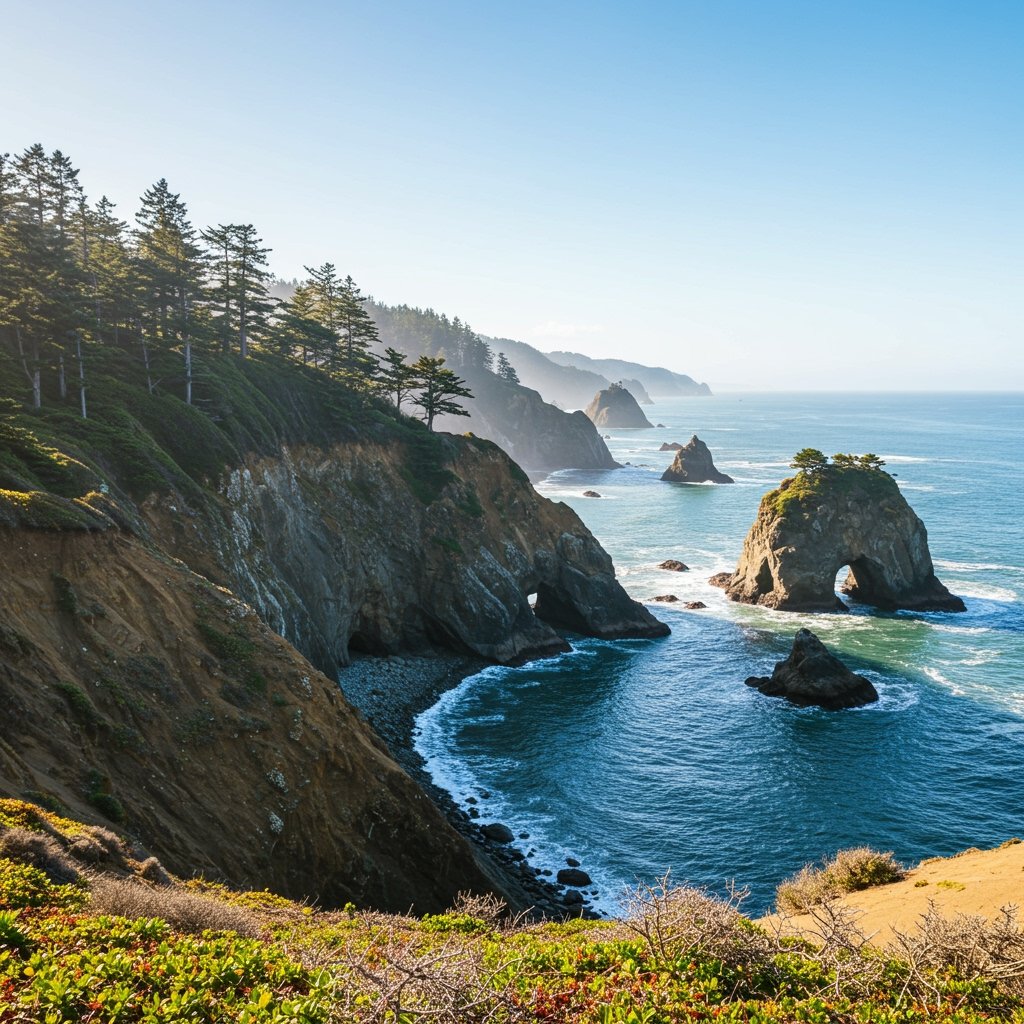
PORTLAND, Ore. – A popular segment of the famed Oregon Coast Trail has been abruptly closed to the public following the detection of accelerated ground movement and minor landslides. Officials with the Oregon Parks and Recreation Department (OPRD) issued an urgent alert early this morning, citing significant safety risks posed by the sudden geological instability.
The affected area lies near Cape Kiwanda, a well-known landmark and a frequently visited point along the rugged coastline. The unexpected earth movement has led authorities to cordon off the trail section, effectively redirecting hikers and outdoor enthusiasts away from the potential danger zone.
“Our primary concern is the safety of the public,” stated a spokesperson for OPRD. “Recent observations indicated an alarming increase in ground instability along this particular stretch of the trail. While the landslides detected so far are minor, the rate of movement suggests a potential for larger, more dangerous events. We cannot take any chances.”
Urgent Closure Issued
The decision to close the trail segment was made swiftly after park staff and geological monitors observed distinct signs of instability. Cracks widening on the surface, small slumps of earth, and unusual drainage patterns were among the indicators that triggered the immediate safety protocol. The closure is indefinite, pending a thorough evaluation of the site.
The Oregon Coast Trail, stretching over 400 miles from the Columbia River to the California border, is a major draw for both local residents and international tourists, offering unparalleled views of the Pacific Ocean and access to diverse coastal ecosystems. The closure near Cape Kiwanda affects a scenic and accessible portion, making the disruption significant for planned hikes and recreational activities.
Park rangers are actively patrolling the area to ensure compliance with the closure order and to inform visitors of alternative routes and nearby attractions that remain open.
Understanding the Geological Instability
The Oregon Coast is a geologically active region, shaped by seismic forces, constant erosion from wind and waves, and varying precipitation levels. Landslides are a natural, albeit sometimes sudden, process along the bluffs and cliffs that define much of the coastline.
However, the recent activity near Cape Kiwanda is described by officials as unexpected and accelerated. The precise factors contributing to this sudden increase in instability are currently under investigation. Heavy rainfall, seismic tremors, or changes in subsurface water flow can all influence slope stability. Geologists will need to conduct detailed surveys to determine the underlying causes and assess the overall risk profile of the affected area.
The types of landslides typically seen along the coast range from slow-moving earthflows to rapid debris slides or rockfalls. The current concern appears to involve earth movement potentially indicative of a deeper, more significant slump forming.
Impact on Trail Users
The closure disrupts access for hikers planning to traverse this section of the Oregon Coast Trail. This segment is known for its dramatic cliffside views and connection to popular beaches and viewpoints around Cape Kiwanda.
Hikers are strongly advised to respect all closure signs and barriers. Attempting to bypass the closure can expose individuals to serious hazards, including falling rocks, unstable ground, and the risk of becoming stranded. The unstable nature of the slope means that conditions could change rapidly and without warning.
OPRD is working to provide clear information on its website and at trailheads regarding the extent of the closure and suggested detours for long-distance hikers attempting to complete the entire trail. Local businesses that rely on tourism related to the trail may also experience a temporary impact.
Official Response and Evaluation
Following the initial alert and closure, OPRD is mobilizing resources for a comprehensive assessment. This will involve:
* Geotechnical Surveys: Employing experts to analyze soil and rock composition, groundwater levels, and the mechanics of the slope failure.
* Mapping: Using GPS and potentially drone technology to map the extent of the movement and identify specific risk areas.
* Monitoring: Setting up equipment to continuously monitor ground movement over time.
This evaluation process is critical to understanding the severity of the problem and determining what, if any, stabilization measures could be feasible or whether the trail alignment needs to be permanently altered.
Looking Ahead
The timeline for reopening the affected trail segment is currently uncertain. It depends entirely on the findings of the geological assessment. If the instability is determined to be ongoing or if remediation is required, the closure could extend for a considerable period.
Park officials emphasize that reopening will only occur when they are confident the safety risks have been mitigated. They urge the public to remain patient and cooperative during this period of evaluation.
The incident serves as a reminder of the dynamic and ever-changing nature of the Oregon coastline and the importance of heeding official warnings when venturing into potentially hazardous areas. Updates on the status of the closure will be provided by the Oregon Parks and Recreation Department as the assessment progresses.


